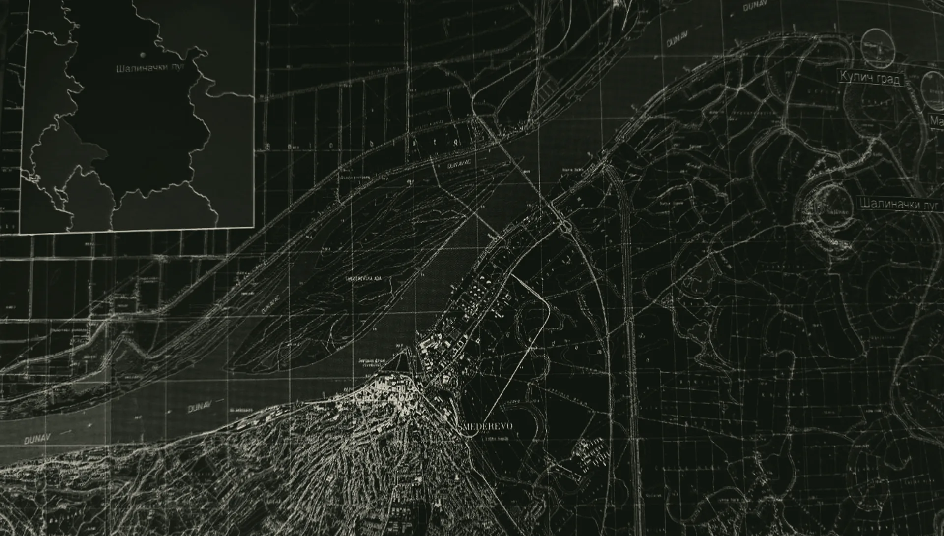
07Map and Surroundings
The Morava meets the Danube.
Godomin Field · City of Smederevo
Scroll
44°41′24″ N 21°00′59″ E
01 / 05
Smederevo
A city and fortress on the Danube, ten kilometres west of the Lug.
02 / 05
Danube
The second-longest river in Europe. It is three kilometres from the Lug.
03 / 05
Godomin Field
The plain built up by the Velika Morava with its sediment.
04 / 05
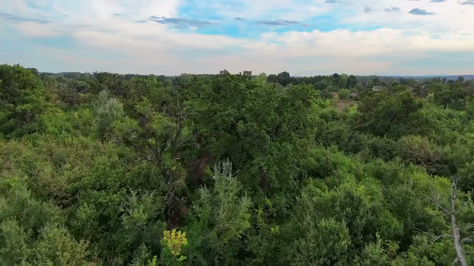
Šalinački lug
A forest in the arc of the old Morava meander, surrounded on all sides by the village.
05 / 05
Kulič
A fortress near where the Velika Morava flows into the Danube — and the second village on the edge of the Lug.
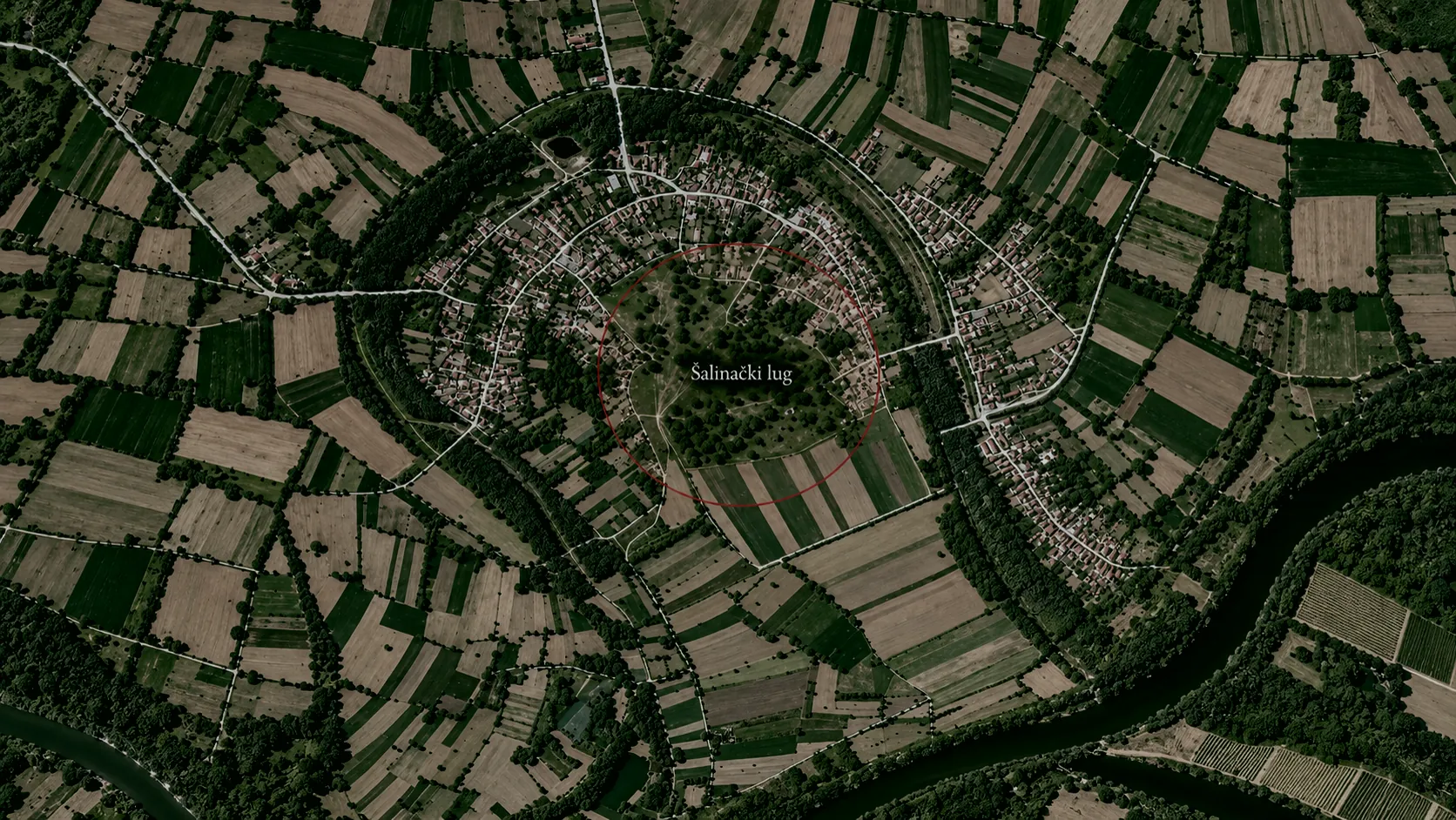 Šalinac
old Morava meander
Velika Morava
Šalinac
old Morava meander
Velika Morava
From above
An island in a ring of village.
The village grew up on the inner side of the old Morava meander, and the forest remained in the middle — like the pith in the growth rings.
From the Lug
Everything is close.
- Danube3 km, north
- Velika Morava1.5 km, east
- Smederevo10 km, west
- Kuličfortress near the mouth of the Morava
Coordinates
44°41′24″ N21°00′59″ E
Šalinac, City of Smederevo · about 70 m above sea level
The story goes in order · 2 chapters to go
08Next chapter
Gallery
The Lug, frame by frame.
Continue →